Expert Floodplain Analysis in Houston

Expert Floodplain Analysis in Houston: Safeguarding Your Property from Flood Risks

Adaptation to natural forces is critical for project safety. Our complete services are intended to provide your developments with the instruments needed to survive floods and successfully manage risk. We specialize in Floodplain Analysis in Houston, delivering extensive floodplain mapping to guarantee your project is ready for any issues that may arise. Our skilled staff will walk you through each phase, providing insights and ideas designed to improve the durability of your structure. By using advanced floodplain analysis methodologies, we help you evaluate and manage flood risks, resulting in a safer and more resilient conclusion. Trust Houston Civil to provide your project with the skills required to navigate and thrive in adverse environmental conditions.

Services We Offer

Flood Hazard Assessment

Our flood hazard assessment services will help you identify and analyze flood threats on your property. We use historical data and current situations to deliver precise risk levels, allowing you to make more educated decisions about your development initiatives.

Floodplain Mapping

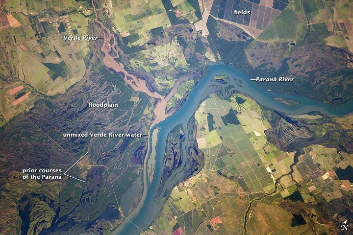
Our floodplain mapping services provide precise maps of flood-prone locations. We use innovative technology to develop detailed maps that guide your strategy and maintain regulatory compliance in Houston.

Floodplain Mitigation

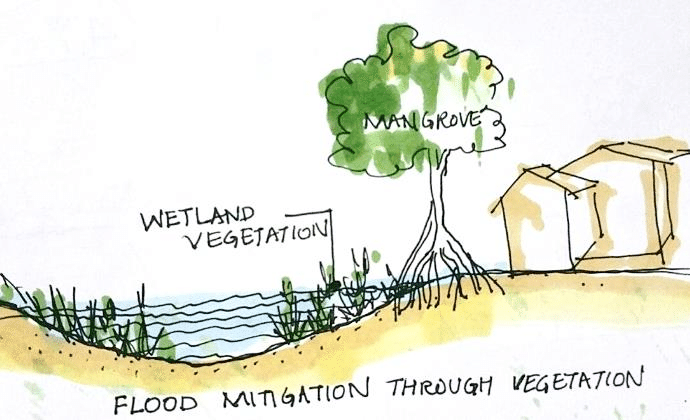
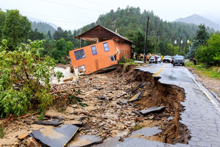
Implement effective floodplain mitigation strategies to reduce flood risks. We offer bespoke solutions that reduce weaknesses and increase resilience, protecting your home from potential flood damage.

Stormwater Quality Permitting

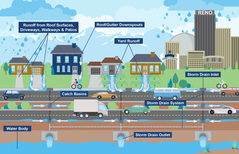
Our stormwater quality permitting services will ensure that your project satisfies all regulatory standards. We handle the permitting process, ensuring that stormwater is properly managed to safeguard water quality and meet municipal standards.

FAQs

Floodplain analysis examines flood risks and maps flood-prone areas to aid planning and decision-making, ensuring that projects are adequately prepared for future flooding.

It provides visual representations of flood-prone areas, helping you understand risks and comply with regulations to prevent future issues.

Floodplain mitigation options include elevation or barriers to limit flood impact, which protects property and minimizes damage.

It ensures compliance with regulations, pollution prevention, and runoff management to protect water quality.

Floodplain analysis identifies risk regions and provides precise data to guide project planning, ensuring that possible flood issues are adequately addressed.